Day 25 – Roswell and Carlsbad Caverns Bat Flight

Another morning up with the sunrise.

image

image

image

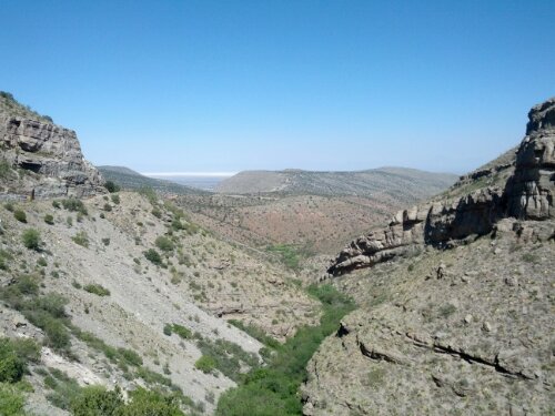
Tunnel views back out to White Sands.

image

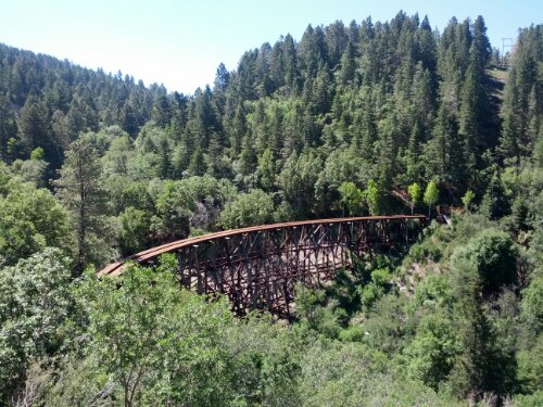
Old train trestle up to Cloudcroft along Highway 82.  They used to take the train up to avoid the summer heat.  And it may just be the beginning of summer, but I definitely see the appeal.  Cloudcroft reminds me of home – cool and green.  Kind of makes me want to go visit the KVR in BC.

image

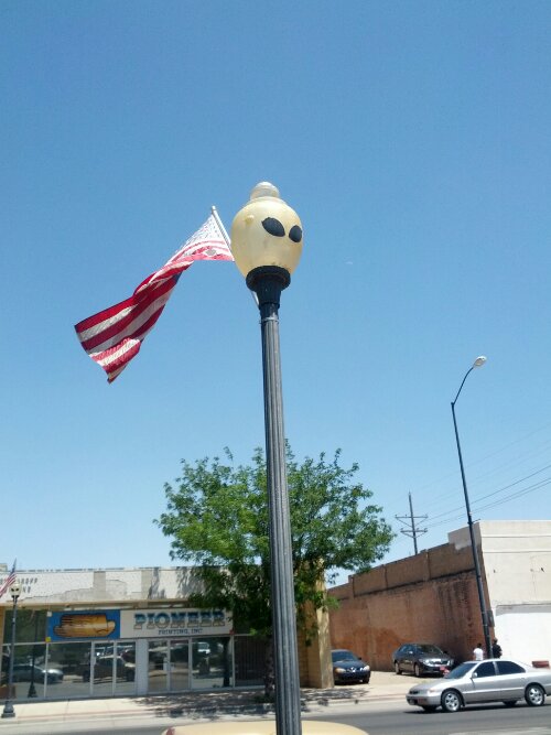
Best part about Roswell – the alien street lamps!

image

image

image

image

Day 24 – White Sands National Park

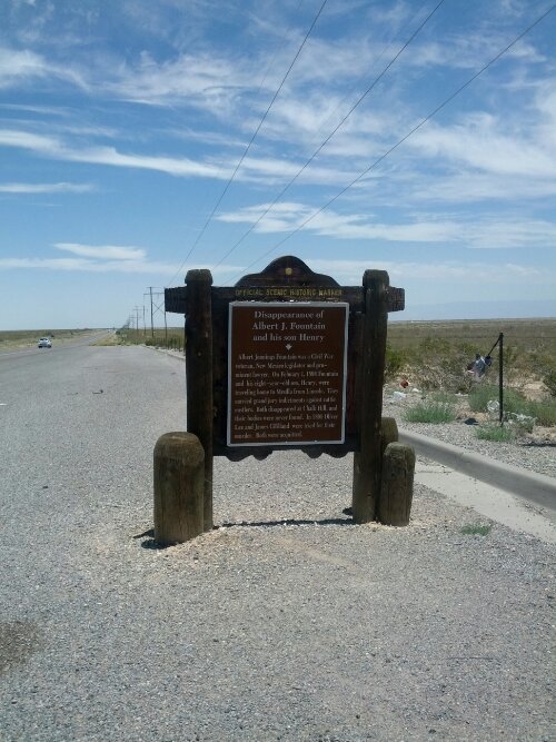
Not actually sure what this is, some historic site to commemorate some people disappearing.

image

Low distance day – Got to White Sands in the early afternoon and didn’t really have much else planned.   While sitting in the Visitor Centre, I overheard there was camping available in the park.  Since I had been told the place is amazing during the full moon, I thought this was the best I would likely get.


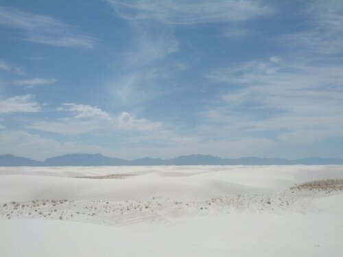
White sands – Whitest place on earth?   But at least visible from space…

image

image

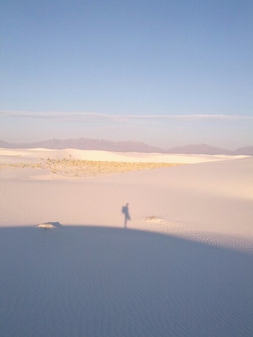
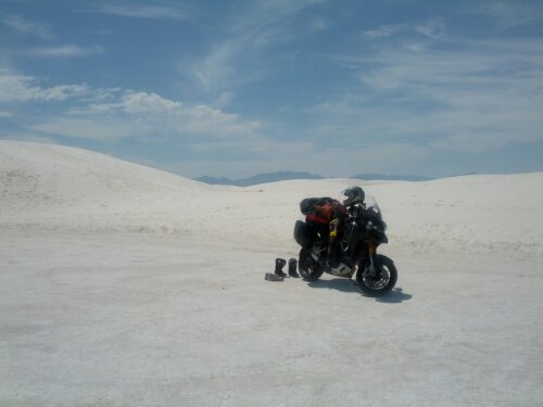
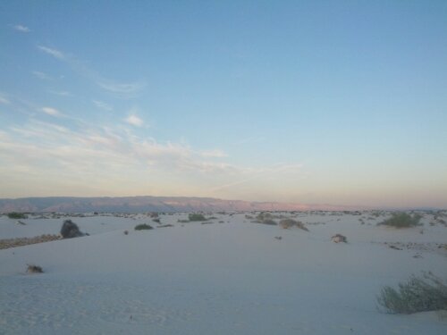
Looks lonely out there, doesn’t she?

image

0.6 mile hike from the trail head to the camp.  How hard could it be?   Silly me.  I took a short hike with pack to the beginning of the loop where GPS coordinates were provided for the sites.  Didn’t seem so tough.

It’s quite amazing what is ‘necessary’ to camp when you have to lug it across the sand.  I resorted to my tent, sleeping bag, thermarest and my misc pack for water and essentials.   Getting back to the sign with the GPS coords was bad enough.  I sat there sweating and squinting at my phone trying to enter the waypoints.   Couple of problems – i don’t actually know how to use my GPS app to navigate.  And 2 – the coords were incorrect on the sign. So after 30 mins of sweating onto my phone, i gave up and just went the old fashioned way.  Wandering across the sand looking for the posts.

Naturally, half of the posts I needed had fallen down.  I would wander over to the next due to where a post ‘should’ have been before I could see it lying on the ground and figure out which way it was pointing.  Eventually did find the post.

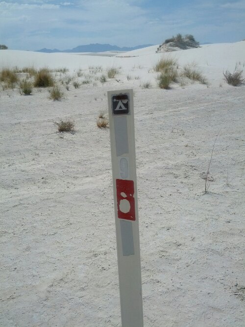
Campsite #9 – my stop for the night.

image

Regulations said you had to set up 5′ from the post, away from the actual dunes themselves.  So I set up right on the marker, then lay inside for the better part of an hour listening to my heart pound and my sweat drip to the base of the tent.   Eventually, I was able to pull myself together and went back to the Visitor Center to fill up on water and catch the Sunset Stroll.

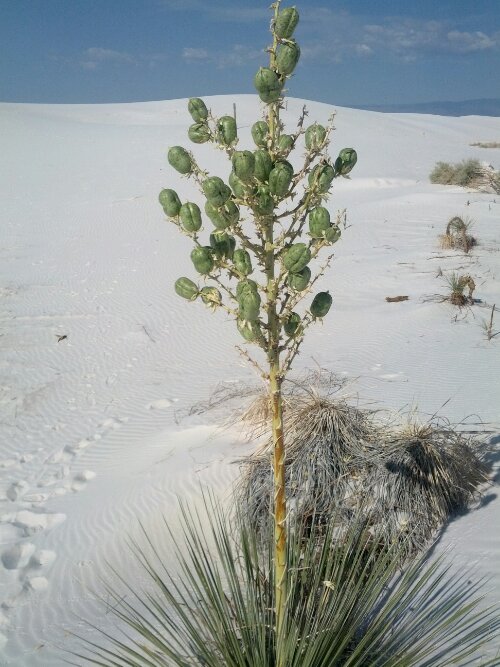
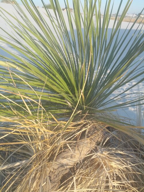
Flowering yucca plant

image

Little bleached earless lizard hiding.

image

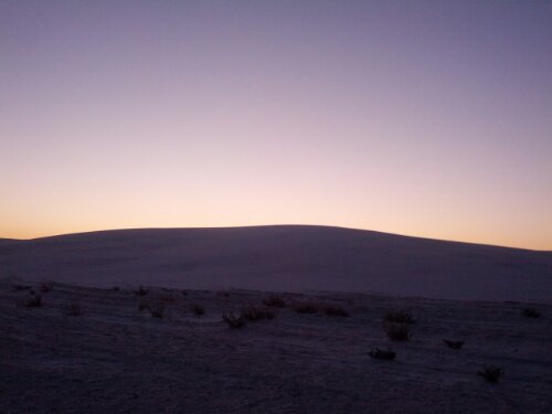
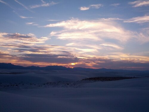
Sunset!

image

image

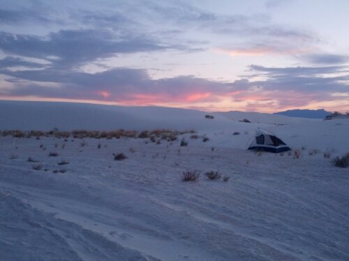
Notice the camp marker is barely visible at the left of the frame.  The tent was not where I left it!   I guess when all you have inside is a down sleeping bag and a thermarest, there’s not much keeping it in place.

image

If I ever do something this again, I think the packing on the bike itself would shift to include a quick-release ‘back country’ pack.   And I’d upgrade my tent to something a little easier to carry.

Day 23 – Tucson, Tombstone and Jesus

As I was paying my bill for KOA on my way out of Phoenix/Mesa Apache Junction, the lady recommended I go to Tombstone.  It hadn’t even crossed my mind to visit, but since it was within range for the day, I thought it seemed more interesting that just heading deeper into New Mexico.

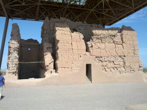
It was fairly early in the day, so I thought I’d take a little detour and visit Casa Grande National Monument.   It was actually so early, the gate was still closed.  I ended up waiting outside with the local Chamber of Commerce who were about to give a tour to a group of tour operators.   We chatted a bit and they were nice enough to invite me along to their quick overview.

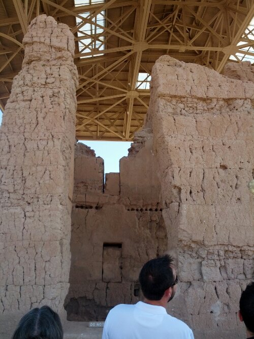
The Big House – No one’s really sure what it’s for, but it is impressive and lets you dream up your own stories.
image

image

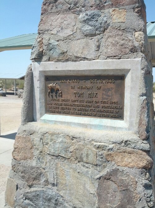
During the ‘tour of tour guides’, I had a nice chat with their bus driver about riding Harley’s with the Banditos and one of the more attractive girls invited me to join them at their next stop at ‘the monastery’ .  Unfortunately, I got held up packing up the bike and was talking to someone who was ready to give up his 1982 Nighthawk.  By the time I got moving, their bus was long gone.   I figured if it was a tour ‘hot spot’, there would be signs.   No such luck.  I stopped here:
image

to google for directions, but nothing came up.  I know it was in the area – I saw their ‘adopt a highway’ sign.   I guess that’s the reason they needed the Chamber of Commerce’s help to get more visitors.

I gassed up in Tucson, and figured I should look for a Diners, Drive-Ins and Dives restaurant.  College town, must be something.   I picked on that was ‘on my way’… but never found it.  Overall, I think Tucson was less frustrating than Phoenix.  Similar temperatures, but it was just more bearable overall.

I took a detour on Highway 83 off Vail since it was a ‘scenic route’.  Very glad I did that.  Best riding of the day.

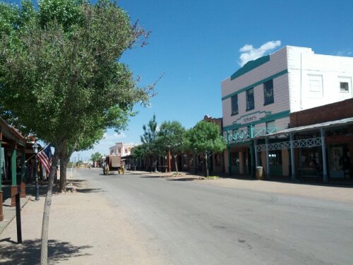
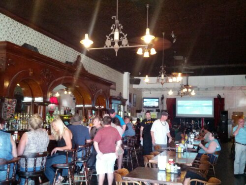
Tombstone itself wasn’t that interesting.  Kind of like Barkerville/Renfaire type deal.  Folks dressed up in period clothing, pitching shows and generally adding atmosphere.  Not a bad tourist trap.  I guess it says something about their ability to survive as a town in this economy.  The schools all looked closed…
image

image

I had originally thought to stay in Benson, just north of Tombstone.  I figured by the time I got there, it would be late in the day and time to rest up.   But I left early and decided to push on to Lordsburg.  I-10 was your typical boring interstate.  I gassed up outside Willcox and continued on my way.

Saw lots of activity on the side of the road and blow tire shrapnel on the road.   Some vans and cars were on the side of the road, getting help as well.  I wondered if there was anything I could do… And thought back to the 4 ‘kids’ the day before stuck at a gas station – they had locked their car keys inside and AAA wouldn’t come get them w/out a member present.   Didn’t occur to me until I was already on the highway that I could have been that member.  Might have blown my entire afternoon, but it’s not like I really enjoyed rushing into Phoenix anyway.

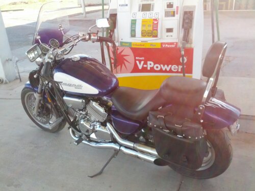
I still didn’t stop for the cars – for the most part, they looked abandoned or had bigger issues than I could possibly deal with… And then I saw it!   A guy on a purple cruiser, waddling it down the shoulder.   I pulled over and asked what was wrong – out of gas!  I tried to figure out how to help, and decided to just make a run for the next gas station and see what was up.   I blew out of there – and promptly missed the next exit.   But fortunately, the exit after that had a Shell station.  Picked up a 1G jerry can, filled it with gas and looped back.  Lots of speeding at this point since I now had to cover 3 exits to get back behind the cruiser.

Pulling up behind him, we gassed her up and got going.  Pulled over that first exit, and realized Dixie is pretty much just a ghost town.  Not even sure if the gas station at that exit was open.  We continued through the town until we were back at the same Shell station.
image

He wanted to pay me back, but this station didn’t have an ATM.   We rode together to the next stop and he gave me $20 and a bottle of water.   Essentially, buying me a jerry can.   I did catch his name – Jesus.

All I could think of was Matthew 25:31-46 – “whatever you did for one of the least of these brothers and sisters of mine, you did for me”   And wouldn’t you know it, I did it for Jesus.  Okay, he was hispanic and a painter, but still..

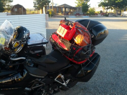
And now, I carry a full jerry can with me – and I didn’t have to do the walk of shame to get it!
image

Day 22 – Joshua Tree to Phoenix

Up until now, I usually made it a point to stay off the major Interstates, but a few things have changed recently.  1)  I don’t need to eat up mileage for my service appointment.  2)  My tires are wearing out and I will need some ‘soon’  3)  It’s too hot to spend time on the road unless you have to be.

Another lazy start this morning.  Up at 7:30, but didn’t really get on the road until 9am.  I did manage to speak to Services Canada about my employment insurance.  Sounds like I don’t get any payments – the waiting period started just as I started this trip.   At least I don’t have to file any more reports  until I get back into Canada.

Decided to make a detour to visit Joshua Tree National Park.  Wasn’t that far out of my way if I were to take I-10.  It was nice to see a working windfarm on my way there – but with so much traffic, I didn’t stop to take any pictures.

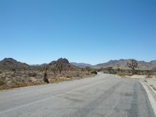
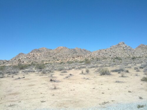
Joshua Tree Park itself was really quite nice.   Border of 2 deserts and some fault lines, it’s very pretty.  Took a short hike through Hidden Valley.   Very much made me wish I had come here in the spring when the desert is blooming.  That and I had the skills/equipment to do some climbing.

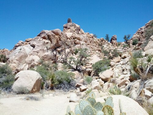
Joshua Tree National Park

image

image

Hidden Valley

image

The rocks make me think of World of Warcraft.  I kind of hope/expect the rocks to rise up as golems and start attacking me.   Realization that in motorcycle pans and boots, I wasn’t likely to make good time.   Our toons do so much running in that game, they must be in great shape.

image

Lookout at the San Andreas fault.

image

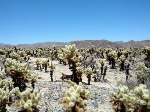
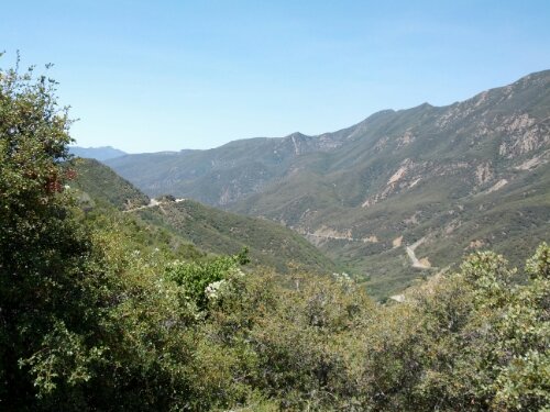
Cholla Cactus Garden – nasty plants.  Barbed spines that break off.

image

But pretty!
image

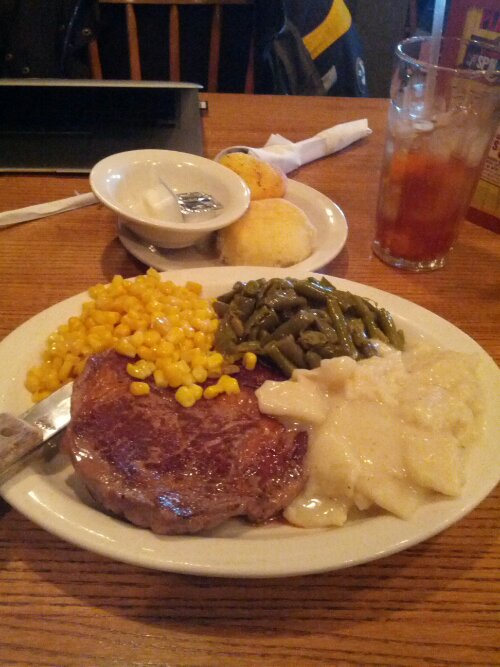
Leaving the park, the bike registered 42C on I-10 towards Phoenix.  Had to cool down at gas stops and even took a nap in the shade at a rest stop.  Didn’t really eat all day – had some beef jerky and a can of vienna sausages with lots and lots of water.  So as I approached Phoenix, I saw signs for ‘Cracker Barrel’.  That brought back memories of Knott’s Berry Farm as a child.   We got there so late the park was closed and we still had to grab a bite to eat.   Cracker Barrel was across the street and we got in just before the kitchen closed and all I remember was the t-bone steak.  Since I was uncomfortably hot anyway, I stopped for iced tea, ribeye and some sides.  Solid meal for the day…

image
Even after dark, it stays in the high 30’s.   Ridiculous.   I’m very much not used to the sun setting so early during the summer.   I’m expecting to have another 2h of light, but the sun sets and I’m stuck in the dark… I’m not even going to bother with a tent tonight.  Hopefully the spiders I saw earlier don’t bother me…

Day 16 – Wheeler Gorge and Santa Barbara

Lazy start… nice to be clean in an air conditioned room. Less pleasant when you finally do walk out into the heat. Rather warm in Maricopa.

Chatted with a trucker who had a 98 Softail Classic in his garage. His baby, but can’t ride anymore due to arthritis. Another reminder that motorcycles might be an instant club, but probably won’t last forever.

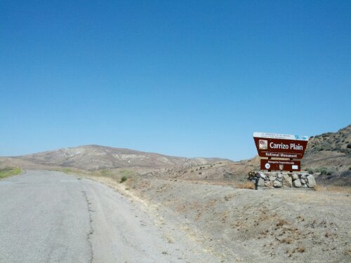
Looping out to 33 towards Santa Barbara, I did manage to find the National Monument I was looking for… and BLM lands too – camping would have been free!

image

The road wasn’t the best… might have been risky in the dark. Couldn’t be worse than the dirt stuff…

The signs to go to Ventura made it seem really close – as if I should have made a run for the coast last night. But it’s a good thing I didn’t – the road picked up soon enough. Twisties!

image

image

If I had known the road was like this, I would have had breakfast and coffee before heading out. 33 was great, 150 wasn’t bad – much better if it weren’t for being stuck behind a white Altima…

image

Things were less rosy once back on the 101. Traffic is taking some getting used to… after days of riding virtually alone, now I have to deal with cagers again. The bikes lane splitting are new to me as well. At least their loud pipes are doing something for me.

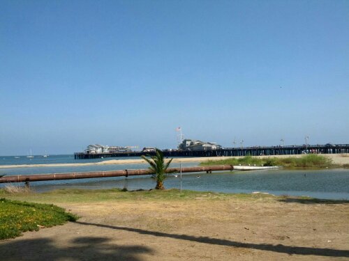
Eventually made it to Carpinteria in the Cali June Gloom. Swung past the State Park/beach, but with the grey skies, didn’t feel like paying for parking and stopped for lunch instead. Things did clear up after and I went out to Stearns Wharf for some classic tourist activities. Was entertaining overhearing a conversation about travel books and how cliche the big sites are.
image

View from Stearns Wharf – Blue skies and water, just like the TV commercials!

Day 15 – Death Valley and the search for a National Monument.

Not exactly a great night of sleep – very sweaty.  And it did eventually cool off enough to be uncomfortable without a sleeping bag.  Oddly enough, the ground was still warm at sunrise everywhere I had gear.

Beautiful morning – and since I figured I wanted to get things done before things really heated up, I got moving.

image

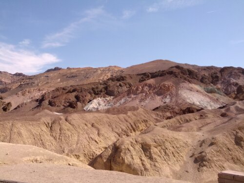
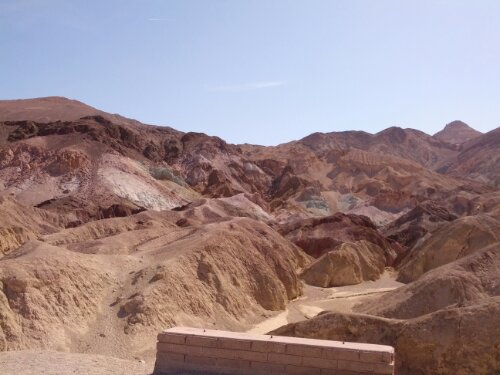
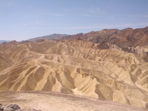
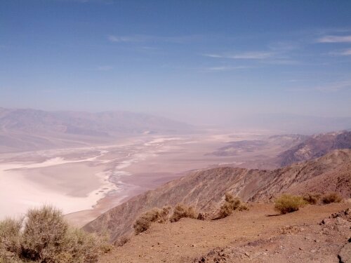
Some geographical location that’s really steep in they Valley.  Can’t see anything…

image

Rock bottom.  Or Salt bottom, as it were.  Badwater – where the mules refuse to drink and you’re at the lowest point on the Western Hemisphere.  Nowhere to go but up!

image

image

image

image

image

image

image


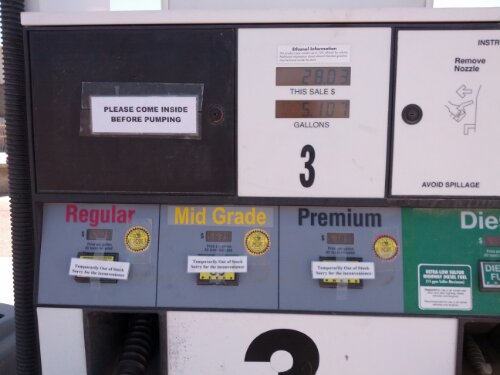
I stopped at Furnace Creek to cool down and grab a drink.  Had a nice chat with two girls from Bakersfield.  They mentioned I should take 178 along the Kern River and that the only downside was that it ran through Bakersfield.  At this point, anything involving water sounded like a good idea.   Looping back through Stovepipe Wells to check out the dunes, I decided to get gas at Panamint.  Unfortunately, they were out of unleaded.   All of it.

image

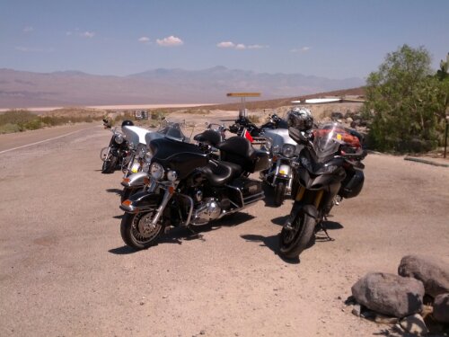
I went next door to the resort to grab a drink and use their WiFi, hoping that the truck would show up in the meantime.  Managed to set up my service appointment for next Thursday at Ducati Newport Beach.   A large Harley tour group from Europe pulled up into the resort to eat while I was there.

image

After over an hour of sucking back on iced tea, I figured I should get going.  I heard anywhere from 42 to 55 miles to the next gas stop.  Half uphill, half down and the bike reported I should be able to go 70 miles.  Should be good!  In the end she did 192.2 miles on that tank, and the last bar on the fuel gauge wasn’t even blinking yet.   She’s been good to me and deserves to be named…

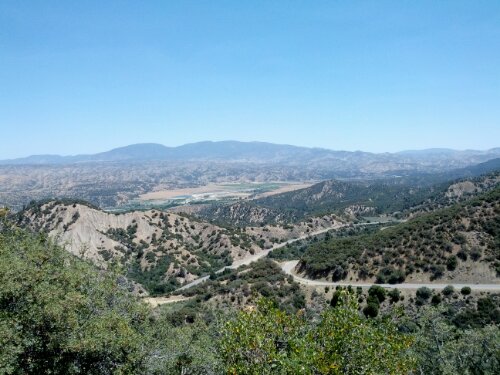
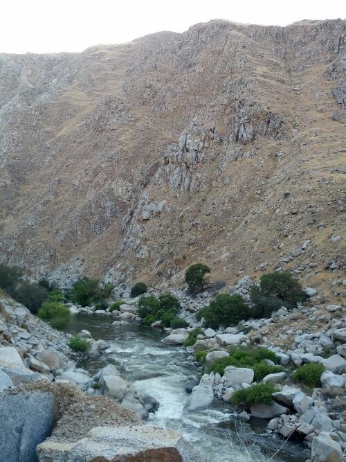
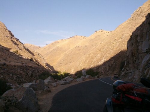
Going south, I went onto 178 and went along the Kern Valley as recommended.   Excellent bit of road.  Not as cool and refreshing as I would have hoped – still 33-35C, but excellent roads.  Would have been even better if I hadn’t been trapped behind a pair of 5th wheels leaking some mystery liquid ever right turn.   I don’t know what it was, but getting covered in it didn’t seem like a good thing.   That did mean that I was never in a position to annoy them into pulling over or pass.   But I did stop to take some shots of the river and valley.

image

image

The real adventure began as I entered Bakersfield. I saw a sign for some state camping just east of the city, but chose not to stay. Gassed up at a Chevron and did a quick equipment check – not good. Everything was still running low on power. Some poking around as I went through the city seems to show that the tank bag contacts were failing. But if I leaned on or held the bag just right, it would continue to charge. This was a pretty big distraction and probably led to a few more bad decisions, like trying to camp at the National Monument west of Bakersfield while avoiding the major highways. This meant it took a long time to get out of the city. Past dark.

Since riding in the dark trying to follow cars who knew where they were going was giving me flashbacks of “the loop”, I thought it best to Google for a campsite. Supposedly there was a campsite, but in my way was a gate for an oil company in my way. Normal security measures, electronic controls, cameras, etc. But, oddly, there was a detour sign around the gate over a dirt road. I took it… there were roads on the other side. Bumpy and covered with dirt. I made it to the ‘campsite’. Nothing there. Just a corner between two unmarked roads. More tooling around in the dark. Evidently I looked lost enough that the tech on duty that night bothered to come out and talk to me. Phillip was a really nice guy, told me there was no campsite where I was going and that the closest one was Aliso, but a ways into the bush. After a nice chat about his bike and how he was ready to let it go, I turned around and ran back to Maricopa and stayed at the Motel 8. Evening of fail.

Day 14 – Area 51 and Death Valley

Felt like I had seen an awful lot of parks recently, so I figured I’d do something else the USA does very well – kitsch.  Looked like a lot if miles, so I had an early start.  Probably a touch too early.  Without coffee and on gravel roads, I tried to take the Multi off the center stand.  Tipped the wrong way(away from me) and fell over.  The brake lever end snapped off – I like to think of it as an earlobe.   So the first real damage has been done.  Surprisingly, it actually feels better –  smaller on that side now.

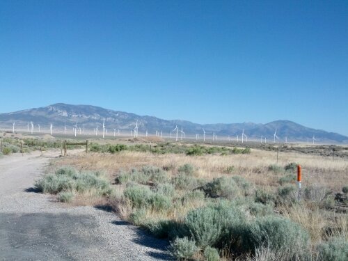
A wind farm – not successfully farming anything.

image

Looping around 318, I filled up outside Alamo.  Had a nice chat with Dennis from MA.  He was in Vegas to a new addition to his extended family.  Not wanting to spend all day with a newborn, he rented an HD for the day and did a bit of riding.  We played tag with cameras, but he had a better rig and better stops.

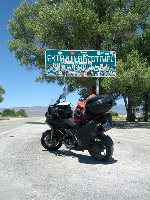
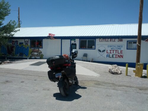
 ET Highway!

image

image

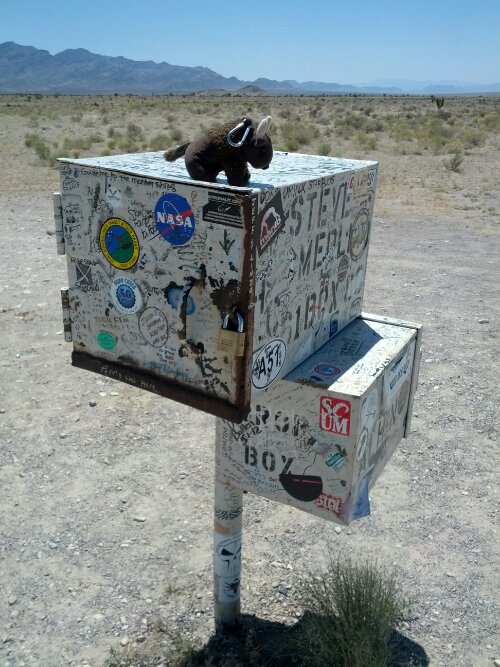
Buddy Bison on the ‘Black Mailbox’

image

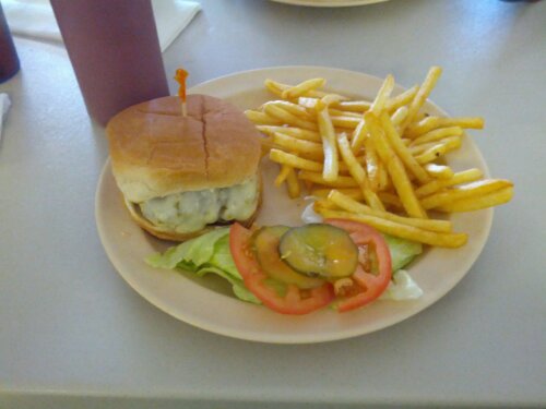
Saucer Burger special at Lil Ale Inn cafe.  I really need to stop eating so many burgers.

image

image

Not really having a plan after lunch, I was informed that 93 back to Vegas wasn’t worth doing.  So I thought I would go the other way and see where that took me.  Got a little lost in Tonopath, but eventually stopped for gas.  Nearing 13,500 miles, I figured I should start heading SW for my service appointment rather than cutting straight west for Yosemite.  So Death Valley it was.

Ever get the feeling that you’ve made a terrible, terrible mistake and you’re about to pay heavily?   Well, in trying to find a camp site, I realized the entire place was empty.  Setting up camp, I realized there were some serious clouds moving in from the west.  I know Death Valley is in a ‘rain shadow’, but reading all those road sign warnings about flash floods and sudden storms freaked me out.  Fortunately, some other people rolled into the site shortly after.  If God protects fools, at least there was a group of us.

image


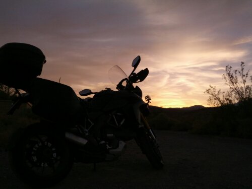
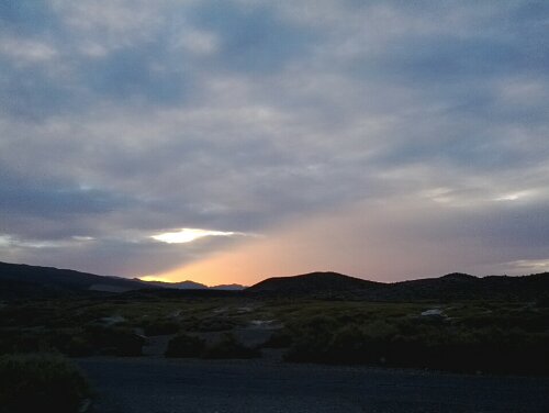
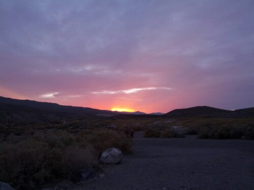
Sunsets with clouds are very pretty.

image

image


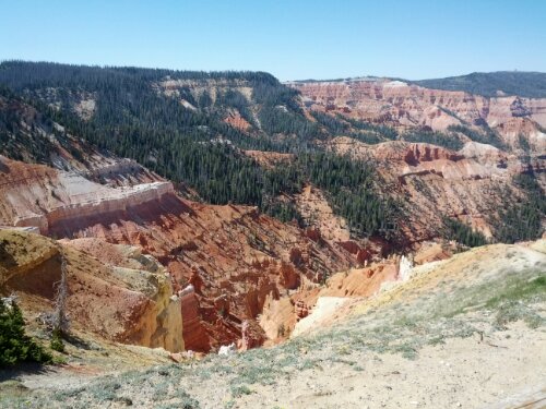
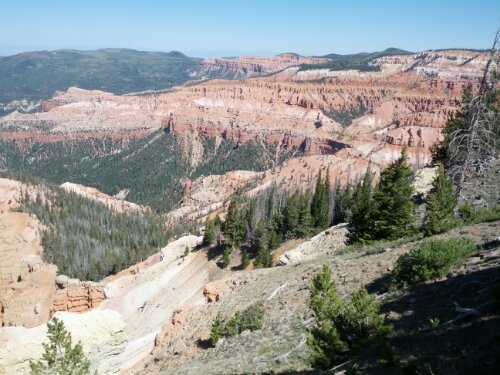
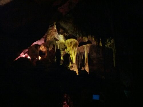
Day 13- Cedar Break and Great Basin/Lehman Caves

Leaving the KOA site and getting to Cedar Break was an adventure. Road was closed to reconstruction after a slide. Had to go around.

image

image

image

image

Day 12 – Lees Ferry, Grand Canyon North Rim, Pipe Springs

image

image

image

image

image

image

image

image

image

image

image

image

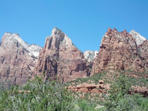
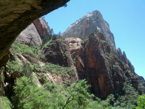
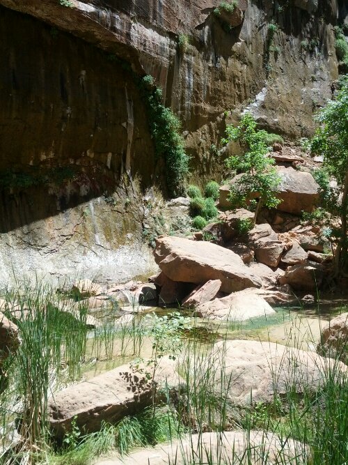
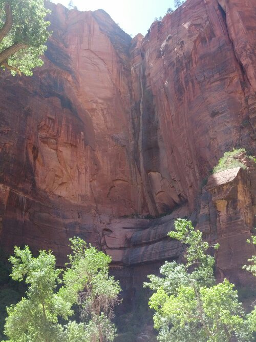
Day 11 – Bryce and Zion

image

image

image

image

image

image

image

image

image

image

image

image

image